Projects
MLOps · Geospatial . Cloud-Native
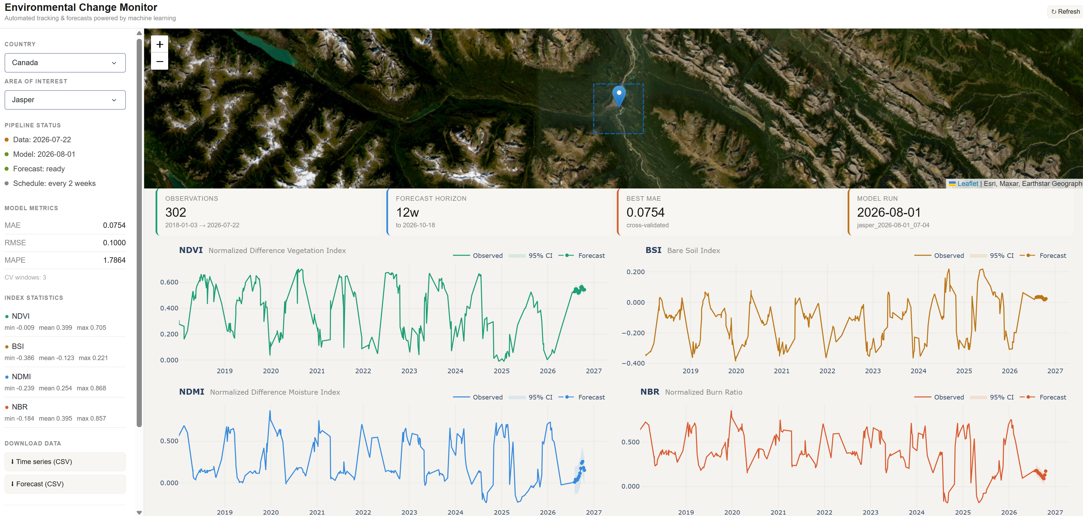
Environmental Monitor
An end-to-end geospatial machine learning pipeline focused on reproducibility, modular pipeline design, and scalable model development. The project leverages cloud-native workflows to efficiently extract spectral indices from satellite data (Sentinel-2 and Harmonized Landsat-Sentinel), transforming them into structured time series for downstream analysis. These features are then used to build forecasting models using XGBoost, enabling robust temporal predictions from large-scale remote sensing data.
Geospatial · Remote Sensing
Wildfire Impact Analysis Using Satellite Imagery
A burn severity analysis of a 2025 wildfire near Latakia, Syria, using Sentinel-2 imagery and the dNBR index to classify fire impact across the landscape. Burn extent estimates were validated against Copernicus Emergency Management Service reference data, achieving 89% accuracy and ~86% IoU scores.
Geospatial · Cloud-Native . Elevation Model
Production-Ready Terrain Analysis at Scale: A Cloud-Native Geospatial Workflow with STAC and Xarray
A reproducible workflow for querying cloud-hosted high (2 m) and medium (30 m) resolution elevation data via STAC and computing terrain derivatives (slope, aspect, hillshade) directly in-memory at scale, producing analysis-ready geospatial products without a single manual download.
Geospatial · Remote Sensing · Machine Learning
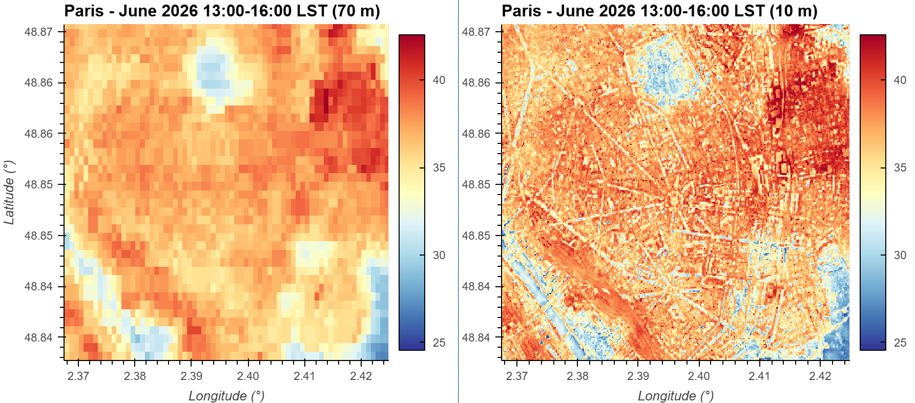
Mapping Urban Heat at Higher Resolution: Machine Learning-Based Downscaling of ECOSTRESS LST from 70 m to 10 m in Python
A machine learning workflow for downscaling NASA's ECOSTRESS land surface temperature data from 70 m to 10 m resolution to better resolve neighborhood-scale urban heat patterns.
Air Quality · Visualization
GTA Air Quality
This project focuses on analyzing and visualizing PM2.5 air pollution data in the Greater Toronto Area (GTA). The data is displayed through an interactive dashboard built with Hugging Face Spaces.